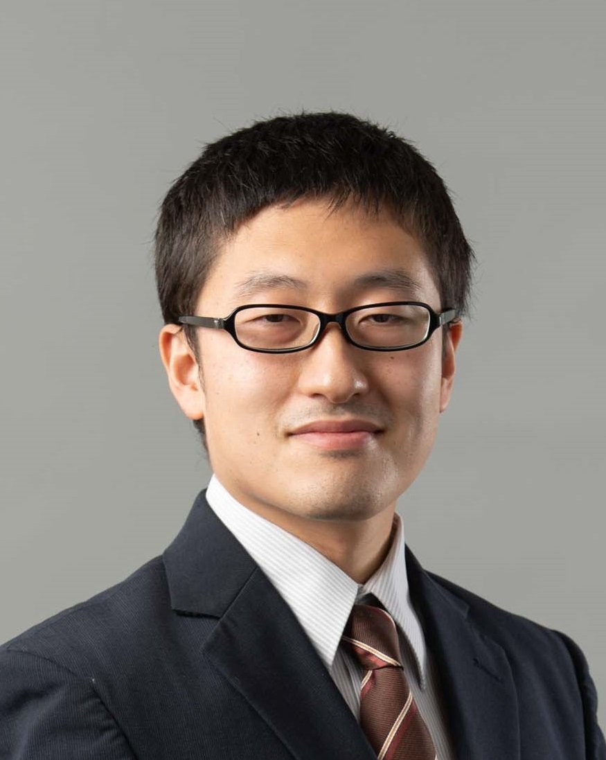
YOKOTA Yusuke
(Associate Professor/Division of Environmental Studies)
Department of Ocean Technology, Policy, and Environment/Underwater Information System/Seafloor Geodesy; Satellite Geodesy; Ocean Remote Sensing

Career Summary
2008: Graduated from Faculty of Science (University of Tokyo)
2013: Received Ph. D from University of Tokyo
2013-18: Hydrographic and Oceanographic Department, Japan Coast Guard
2019: Lecturer (University of Tokyo)
2021: Associate Professor (University of Tokyo)
Educational Activities
Graduate school: Ocean monitoring technology
Faculty of Engineering: Underwater technology
JICA: Training of Chart creation technology
Hitotsubashi University: Earth Science
Research Activities
Physical process of Tohoku-oki earthquake (2011-13):
We elucidated the continuous physical process of the Tohoku-oki earthquake by GNSS seismology (1-2).
Development of SLR technology (2013-):
We are developing Satellite Laser Ranging (SLR) technology (3).
Development of GNSS-A technology (2013-):
We are developing the highest precision and frequency seafloor geodetic observation technique (GNSS-A) and pioneering GNSS-A oceanography (4-6).
Clarification of the Nankai Trough coupling condition (2013-):
We detected the coupling condition of the Nankai Trough by GNSS-A (7-8). It was the first case of visualization of underwater interplate coupling condition.
Clarification of the Nankai Trough shallow large SSE (2016-):
We detected shallow SSE in the Nankai Trough. It was the first case of large shallow SSE detection (11).
Systematization of geodetic information (2019-):
We are conducting research on the international systematization of satellite geodetic observation information.
Development of ocean monitoring UAV (2019-):
We are developing a UAV specialized for ocean observation, proposing its observation method and application, and verifying its performance.
Literature
1) Y. Yokota, K. Koketsu, Y. Fujii, K. Satake, M. Sakai, M. Shinohara and T. Kanazawa: Joint inversion of strong motion, teleseismic, geodetic, and tsunami datasets for the rupture process of the 2011 Tohoku earthquake, Geophysical Research Letters 38 (7), (2011). https://doi.org/10.1029/2011GL050098
2) Y. Yokota and K. Koketsu: A very long-term transient event preceding the 2011 Tohoku earthquake, Nature Communications 6, 5934, (2015). https://doi.org/10.1038/ncomms6934
3) T. Otsubo and Y. Yokota: Satellite Laser Ranging as one of global geodetic techniques: Current status and future prospective, Journal of the Geodesy Society of Japan 63(2), 75-79, (2018). http://doi.org/10.11366/sokuchi.63.75
4) Y. Yokota, T. Ishikawa and S. Watanabe: Seafloor crustal deformation data along the subduction zones around Japan obtained by GNSS-A observations, Scientific Data 5:180182, (2018). https://doi.org/10.1038/sdata.2018.182
5) Y. Yokota, T. Ishikawa and S. Watanabe: Gradient field of undersea sound speed structure extracted from the GNSS-A oceanography, Marine Geophysical Research 40, 493-504, (2019) https://doi.org/10.1007/s11001-018-9362-7
6) Y. Yokota and T. Ishikawa: Gradient field of undersea sound speed structure extracted from the GNSS-A oceanography: GNSS-A as a sensor for detecting sound speed gradient, SN Applied Sciences 1:693, (2019). https://doi.org/10.1007/s42452-019-0699-6
7) Y. Yokota, T. Ishikawa, S. Watanabe, T. Tashiro and A. Asada: Seafloor geodetic constraints on interplate coupling of the Nankai Trough megathrust zone, Nature 534, 374-377, (2016). https://doi.org/10.1038/nature17632
8) T. Nishimura, Y. Yokota, K. Tadokoro and T. Ochi: Strain partitioning and interplate coupling along the northern margin of the Philippine Sea plate, estimated from Global Navigation Satellite System and Global Positioning System-Acoustic data, Geosphere 14(2), 535-551, (2018). https://doi.org/10.1130/GES01529.1
9) Y. Yokota and T. Ishikawa: Shallow slow slip events along the Nankai Trough detected by GNSS-A, Science Advances 6, eaay5786, (2020). https://doi.org/10.1126/sciadv.aay5786
Other Activities
GGOS and GGOS Japan, Committee members
GGOS Consortium (2019-)
IAG Inter Commission Committees on Marine Research (2019-)
The Geodetic Society of Japan, Councilor (2019-), General affairs committee (2018-20)
The Seismological Society of Japan, Planning committee (2020-)
Japan Society for Marine Surveys and Technology, Councilor (2019-), Editorial committee (2020-)
Marine Acoustics Society of Japan, Board of Directors(2021-), Councilor (2017-)
and others..
Future Plan
We research to make various ocean information more familiar to us, based on seafloor geodesy, satellite geodesy, ocean acoustics, and earthquake disaster prevention engineering. We are promoting the expansion and deployment of ocean observation engineering and ocean information engineering.
Messages to Students
It's very important that you find interesting research and do your own work. Discover your own fun.
